The Shift from Zip Code to Parcel-Level Risk
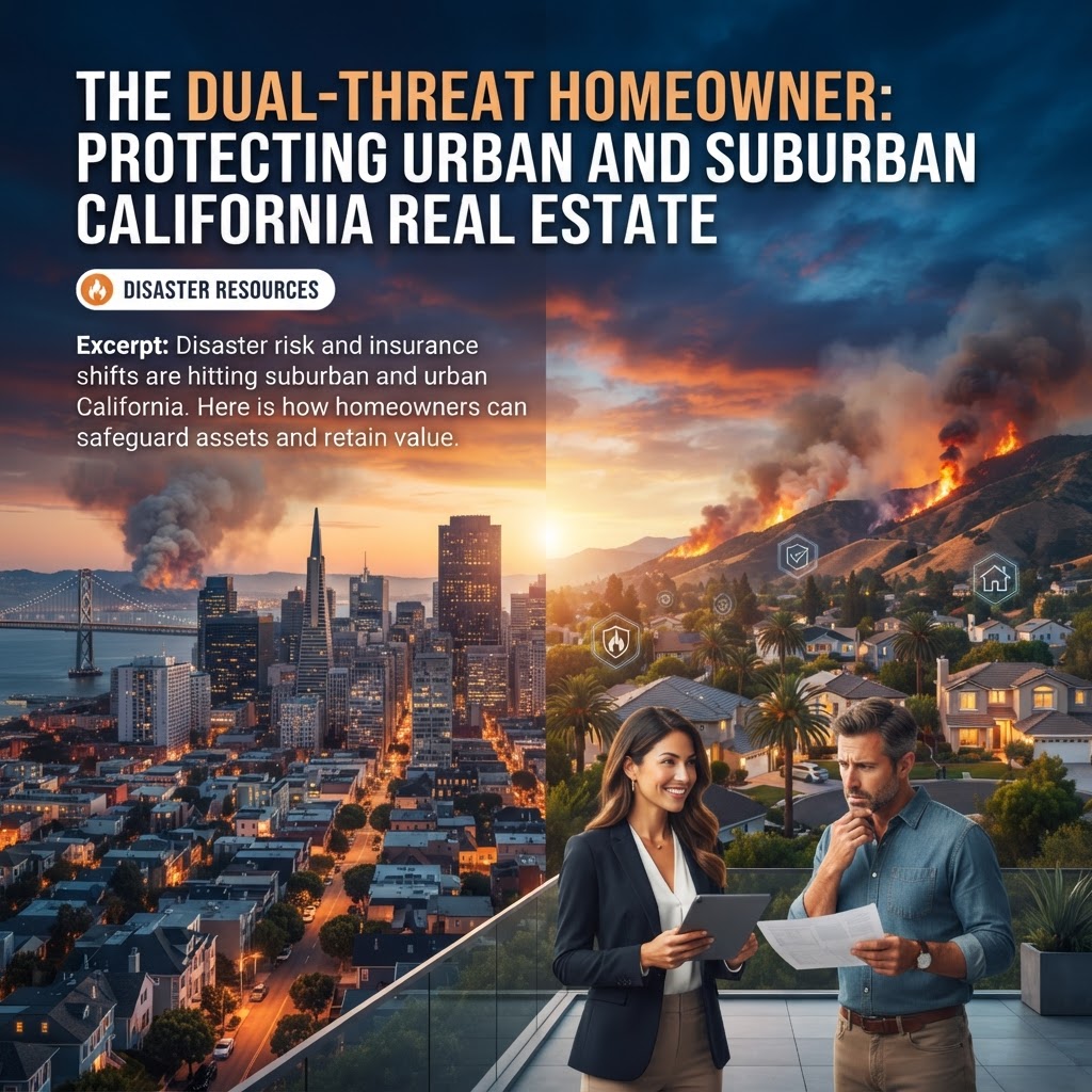
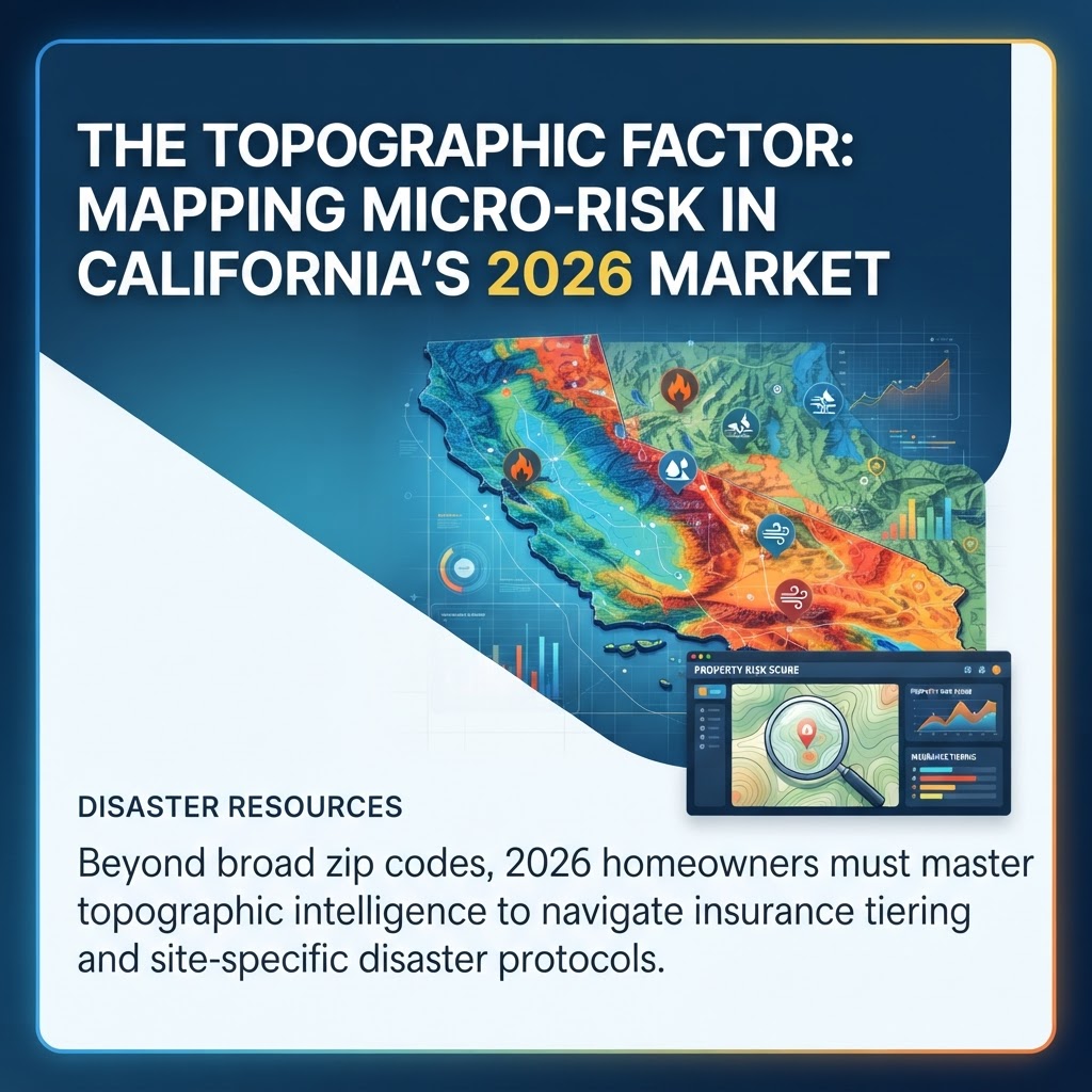
As of August 2026, the California real estate landscape has moved beyond generalized risk assessments. While previous years focused on broad regional threats, the current market is defined by "topographic intelligence." According to data from the California Department of Insurance, over 85% of private carriers now utilize high-resolution LiDAR and satellite imagery to price premiums at the parcel level rather than the zip code level. For homeowners, this means that the specific slope, aspect, and vegetation density of their individual lot are now the primary drivers of insurability and resale value.
Topographic Intelligence: The New Due Diligence
The 2026 disaster profile for California is increasingly dominated by the "micro-climate" effect. While the state has seen a 15% increase in atmospheric river intensity over the last decade, the impact is highly localized. Properties situated in "drainage funnels" or at the base of recent burn scars face existential threats that neighbors just 500 yards away do not.
Geological surveys from the USGS in early 2026 indicate that 1 in 4 California homes currently sits within a high-velocity debris flow zone. Investors and buyers are no longer just looking at Natural Hazard Disclosure (NHD) reports; they are commissioning independent hydrological slope analyses to ensure the property’s long-term viability against the dual threats of wildfire-induced soil hydrophobicity and subsequent flooding.
Navigating the 2026 Insurance Landscape
The California FAIR Plan remains a safety net, but the "Residual Risk" tiering introduced in late 2025 has changed the math for homeowners. To maintain private coverage or lower-tier FAIR Plan rates, properties must demonstrate site-specific mitigation that aligns with the California Board of Forestry and Fire Protection’s 2026 standards. This includes:
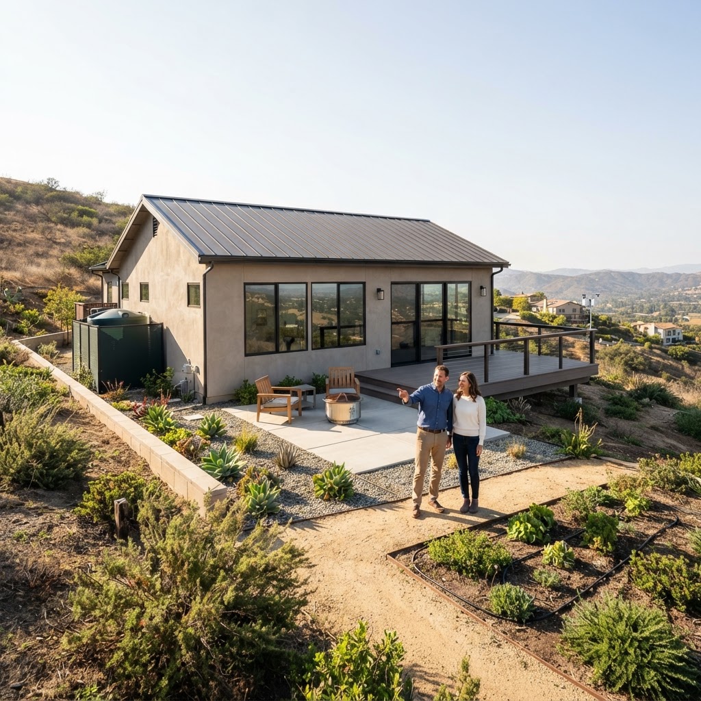
- Zone 0 Compliance: The first five feet around the structure must be entirely non-combustible, a requirement that became a mandatory point-of-sale disclosure in January 2026.
- Hydrological Armoring: For homes on slopes greater than 15%, documented erosion control and bioswales are becoming prerequisites for private flood endorsements.
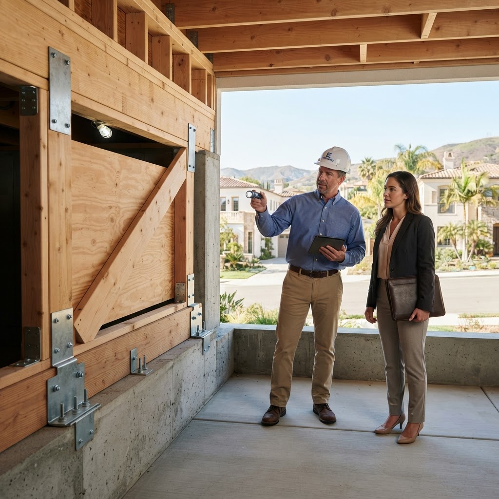
- Structural Breathability: Using ember-resistant venting that meets the updated ASTM E2886 standard.
Logistical Resilience: The "Last Mile" Evacuation Strategy
Resilience in 2026 is as much about logistics as it is about infrastructure. Recent data from Cal OES (Office of Emergency Services) highlights that the biggest bottleneck in disaster response is no longer the event itself, but "last mile" egress. Homeowners in WUI (Wildland-Urban Interface) zones are now prioritizing properties with multiple points of ingress/egress. In the current market, homes located on single-access cul-de-sacs are seeing a "safety discount" of up to 12% in their valuation compared to homes on through-streets.
Emergency resources have also evolved. The integration of Zonehaven (now Genasys) into the statewide MyShake app ecosystem allows homeowners to track real-time evacuation routes based on current traffic and fire velocity. A property’s "Egress Score"—a metric calculating the time required to reach a designated safety zone—is becoming a standard line item in buyer due diligence packages.
Practical Takeaways for the Strategic Homeowner
For Buyers and Investors:
- Verify the LiDAR Profile: Request a topographical risk assessment that includes slope stability and historical drainage patterns. Do not rely on 5-year-old flood maps.
- Calculate the Egress Score: Physically drive the evacuation routes during peak hours to understand the logistical reality of a fast-moving disaster.
- Check the "Burn Return Interval": Research the local history of wildfire frequency. Areas with a 15-20 year return interval are currently seeing the steepest insurance hikes.
For Sellers:
- Professional Hardening Certification: Hire a certified wildfire mitigation specialist to provide a "Hardened Home" report. This transparency can prevent deals from falling through during the insurance contingency period.
- Digitize the Asset Map: Create a geospatial digital twin of the property that shows the exact location of utility shut-offs, defensible space zones, and drainage infrastructure.
- Upgrade to Smart Sensors: Install IoT-enabled heat and moisture sensors that link directly to local emergency networks, a feature that 2026 buyers prioritize for peace of mind.