The Shift from General to Granular Risk
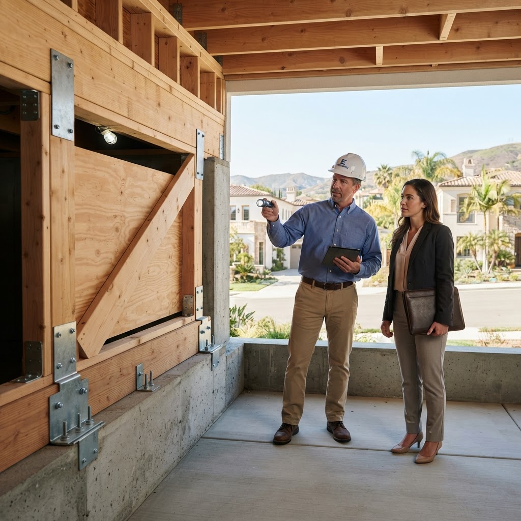
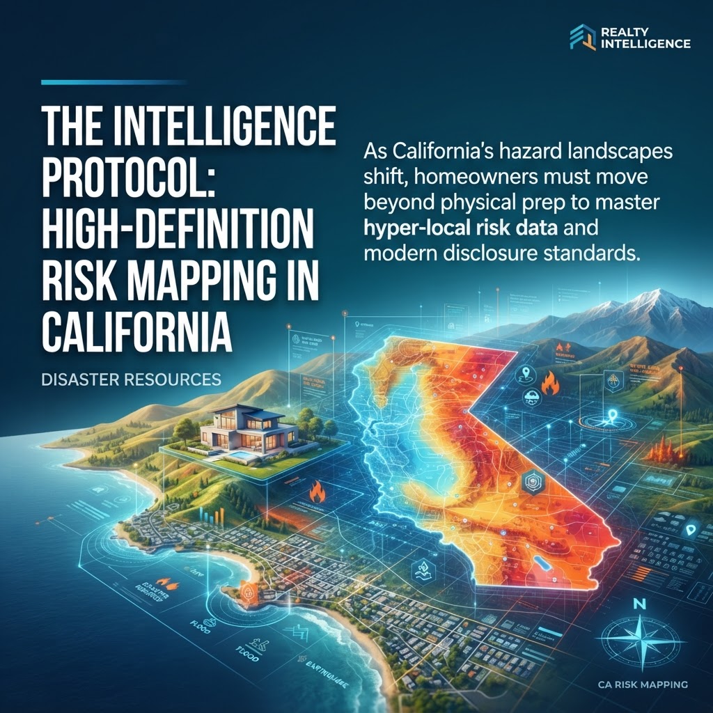
By July 2026, the paradigm of California disaster preparedness has evolved from reactive physical hardening to proactive data intelligence. While traditional measures like seismic retrofitting remain essential, the most significant threat to property liquidity today is the 'information gap.' According to recent data from the First Street Foundation, over 4.5 million California properties face significant wildfire or flood risks that are not fully captured in legacy FEMA maps. For the modern homeowner, resilience begins with the Intelligence Protocol: the ability to interpret high-definition hazard mapping to secure both the structure and the investment.
The Evolution of Natural Hazard Disclosure (NHD)
The standard Natural Hazard Disclosure (NHD) report has undergone a radical transformation. In 2026, buyers and sellers are no longer looking at static zones; they are analyzing dynamic risk scores that factor in 30-year climate projections. Real estate transactions now frequently include 'Climate Risk Audits' that supplement traditional inspections. For sellers, transparency is the new currency. Properties with 'clean' or 'mitigated' high-definition data profiles are commanding a 4-6% premium over those with ambiguous risk histories, as institutional lenders tighten requirements for assets in high-risk census tracts.
Leveraging State and Federal Digital Resources
Navigating California’s specific risks—ranging from the Cascadia Subduction Zone in the north to the volatile WUI (Wildland-Urban Interface) in the south—requires a multi-layered data approach. Homeowners should prioritize three primary digital resources: 1. Cal OES MyHazards: This tool provides a location-specific breakdown of seismic, flood, and fire threats. 2. The California Department of Insurance (CDI) Safer from Wildfires Framework: This isn't just a safety checklist; it is a financial roadmap for insurance eligibility. 3. FEMA’s Risk Rating 2.0: This system has decoupled flood insurance pricing from traditional 'Flood Zones,' instead utilizing individual property characteristics like foundation type and elevation.
Practical Takeaways for the Climate-Ready Homeowner
To maintain asset resilience in the current market, homeowners must treat risk data as part of their quarterly maintenance schedule. Here are the actionable steps for 2026:
- Order a Supplemental Climate Risk Report: Before listing or during annual insurance reviews, obtain a report that includes integrated fire-spread modeling and flash-flood vulnerability, going beyond standard state-mandated disclosures.
- Verify 'Hardening Data' with Local Fire Authorities: Ensure that all defensible space and home hardening improvements are officially logged with your local fire department. This digital trail is critical during the underwriting process for FAIR Plan or secondary market insurance.
- Monitor the FHFA Climate Risk Index: For investors and luxury homeowners, tracking the Federal Housing Finance Agency’s local risk indices can provide early warning signs of potential liquidity crunches in specific zip codes.
Ultimately, disaster preparedness in 2026 is an exercise in information symmetry. By bridging the gap between physical reality and digital data, California homeowners can ensure their properties remain insurable, tradable, and safe in an increasingly volatile environmental landscape.