The Era of Street-Level Stratification
In mid-2026, the California real estate market has moved past the broad-stroke assessments of previous years. For decades, disaster preparedness was often framed by county-wide hazard maps or general ZIP code designations. However, as of July 2026, a significant shift in actuarial technology has introduced hyper-local risk scoring. Modern insurers and institutional investors now utilize sub-meter resolution modeling to differentiate risk profile from one driveway to the next.
According to recent data from the California Department of Insurance (CDI), properties that fall within the top 10% of 'hardened' metrics—determined by granular satellite imagery and AI-driven brush clearance verification—are seeing a 14% higher transaction velocity compared to unmitigated neighbors. For the 2026 homeowner, resilience is no longer a general goal; it is a data-backed prerequisite for liquidity.
Beyond the ZIP Code: The New Risk Mapping
Recent updates to FEMA’s Risk Rating 2.0 and the integration of private data firms like First Street have created what analysts call 'Islands of Insurability.' Even within high-risk Wildland-Urban Interface (WUI) zones, specific parcels are being recategorized based on localized topography, prevailing wind corridors, and micro-watershed drainage. This means two homes on the same street may now face drastically different insurance premiums and disaster readiness requirements.
- Wildfire Granularity: Insurers now prioritize 'fuel breaks' at the 5-foot and 30-foot radii with a zero-tolerance policy for organic mulch or overhanging eaves.
- Hydrological Precision: In the Central Valley and coastal basins, new 2026 flood models account for urban runoff capacity and permeable surface ratios, not just proximity to traditional floodplains.
- Seismic Resilience: The 2026 USGS updates emphasize 'site-specific amplification,' where soil type (soft clay vs. bedrock) is now a mandatory disclosure in most California real estate contracts.
Strategic Insurance Navigation
With the 2024 Sustainable Insurance Strategy fully implemented, the California FAIR Plan has transitioned back toward its role as a temporary safety net. To migrate from the FAIR Plan to the private market—where premiums are currently 22% lower on average for compliant homes—homeowners must provide a 'Certified Resilience Audit.' This document, becoming standard in 2026, verifies the structural and defensible space improvements that digital models might miss.
Practical Takeaways for 2026 Homeowners
To navigate this hyper-local landscape, homeowners and prospective buyers should adopt the following strategies:
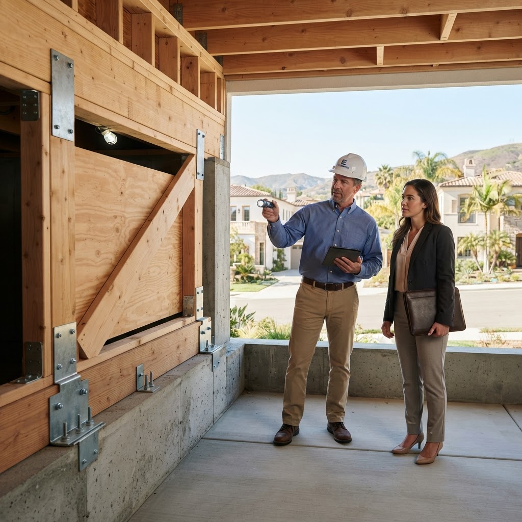
- Commission a Geospatial Risk Audit: Before listing or buying, hire a specialist to run a private risk report using the same LIDAR-based tools utilized by underwriters. This identifies 'red flag' vulnerabilities that traditional home inspections overlook.
- Leverage the 'Community Wildfire Resilience Framework': Properties located within 'Firewise USA' sites are seeing a standardized 5-10% discount on the wildfire component of their premiums. Enrollment in these community-wide efforts is now a primary driver of neighborhood value.
- Hardening for Continuity: Focus on 'Active Resilience' upgrades—such as automatic ember-resistant vents and smart-sensor irrigation—which offer the highest ROI in the current 2026 insurance market.
The Resilience Arbitrage
For the sophisticated investor or homeowner, the current market presents a resilience arbitrage opportunity. By identifying properties with 'bad data' (homes categorized as high-risk that have actually been hardened), owners can fix data discrepancies in the global risk models. Correcting a home’s digital risk twin can lead to immediate equity gains by unlocking lower insurance tiers and broader buyer pools. In the California of 2026, disaster preparedness is as much about data management as it is about physical fortification.