The Shift from Hardening to Strategic Avoidance
For the past decade, California disaster preparedness focused heavily on 'The Hardened Shell'—physical retrofits designed to help a structure survive a catastrophe. However, as of mid-2026, the market has pivoted. Real estate data from the first half of the year suggests that sophisticated buyers and institutional investors are now prioritizing 'Micro-Climate Alpha': the strategic selection of property based on hyper-local topographic and atmospheric data that minimizes exposure before a shovel ever hits the ground.
The Rise of the Safety Premium
Data from recent California Association of Realtors (CAR) reports indicates a widening price gap between homes in high-risk Wildland-Urban Interface (WUI) zones and those in 'topographic safe havens.' Properties located in areas with favorable prevailing wind patterns and natural firebreaks (such as established irrigated parklands or specific ridgeline orientations) are commanding a 12% to 15% price premium over comparable homes in high-intensity fire zones. This isn't just about insurance availability; it is about the long-term preservation of equity in an era of climate volatility.
Quantifying the Risk: Tools for the 2026 Homeowner
Modern disaster preparedness begins with data-driven site selection. Homeowners and investors are increasingly utilizing several key metrics to determine a property's resilience:
- FEMA National Risk Index (NRI): A deeper dive into the 'Expected Annual Loss' (EAL) score, which now factors into 40% of appraisal adjustments in coastal counties.
- Cal Fire Fire Hazard Severity Zones (FHSZ): The 2026 updated maps provide granular, parcel-level data that distinguishes between 'Moderate' and 'Very High' risk with higher precision than ever before.
- Hydrological Benchmarking: With the 2025 floods still fresh in memory, proximity to the '500-year floodplain' is no longer the standard; buyers are looking for elevations at least 10 feet above the base flood elevation (BFE).
Practical Takeaways for Strategic Relocation
Whether buying, selling, or holding, homeowners should treat geography as their primary disaster mitigation tool. Consider the following actions:
- Audit the Micro-Climate: Before purchasing, hire a climate risk consultant to analyze local wind funnels and drainage basins. A home two blocks away from a 'danger zone' may have a radically different risk profile due to local terrain.
- Leverage the 'Safe Haven' Label in Sales: Sellers in low-risk zones should explicitly include FEMA NRI scores and Cal Fire FHSZ ratings in their marketing collateral. In the current market, 'low risk' is as valuable a feature as a renovated kitchen.
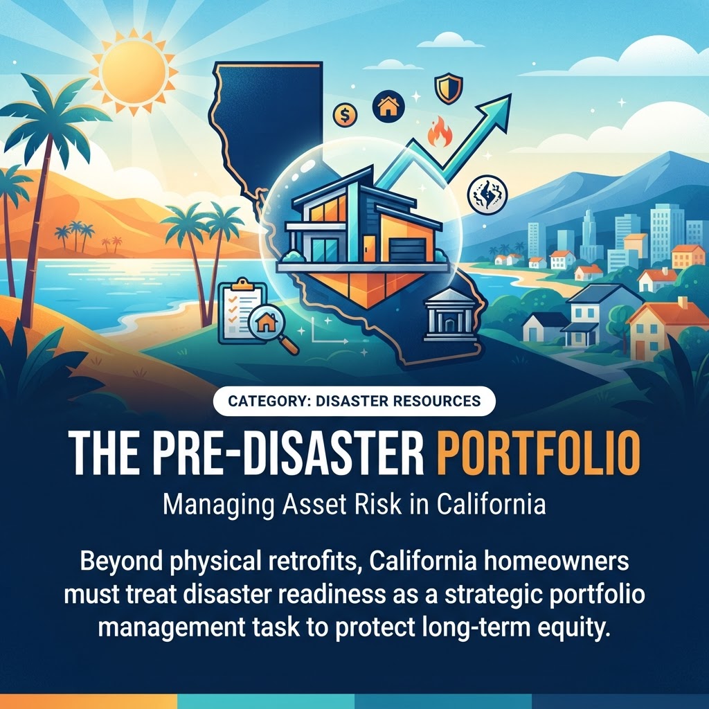
- Diversify via Topography: Investors holding multiple California properties are increasingly balancing their portfolios by ensuring no more than 20% of their assets sit in high-risk climatic corridors, effectively using geography as a hedge.
The Future of Resilience is Location
As California continues to lead the nation in climate-adapted real estate practices, the definition of a 'good investment' has fundamentally changed. Disaster preparedness is no longer just a kit in the garage or a sprinkler on the roof; it is the calculated decision to own land that the environment is less likely to reclaim. In 2026, the most resilient home is the one that was never in the path of the storm to begin with.