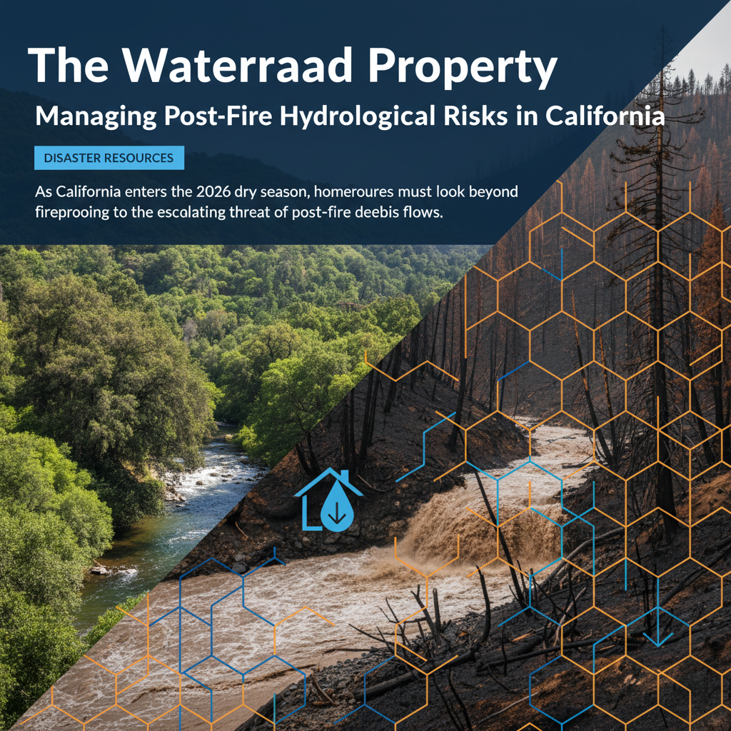
The Fire-Flood Cycle: A Growing Real Estate Risk
In the California real estate landscape of 2026, disaster preparedness has evolved beyond the singular focus on flame resistance. While the 'Fortified Envelope' focuses on structural integrity, a new critical priority has emerged: hydrological resilience. Data from the California Department of Water Resources indicates that properties in the Wildland-Urban Interface (WUI) are now 40% more likely to experience secondary flooding or debris flows within two years of a wildfire event. This 'fire-flood' cycle creates a precarious environment for homeowners who have secured their structures but neglected their soil.
Understanding Soil Hydrophobicity and Landslide Risks
When high-intensity fires move through California’s chaparral and timberlands, they do more than consume vegetation; they chemically alter the soil. According to the USGS, extreme heat creates a 'hydrophobic' layer that prevents water absorption. During subsequent atmospheric river events—which have increased in frequency by 15% over the last decade—this unabsorbed water turns into rapid-moving debris flows. For a homeowner, this means the risk of a total loss remains high even after the smoke clears. Modern preparedness now requires a comprehensive 'Watershed Property' approach, ensuring that the land itself can manage extreme precipitation.
Insurance Implications and the Stability Audit
The California insurance market has reached a point where slope stability and drainage infrastructure are as scrutinized as roof materials. Many surplus line carriers and the California FAIR Plan now utilize high-resolution LiDAR (Light Detection and Ranging) to assess property topography. A 2026 report from the National Association of Realtors (NAR) suggests that properties with documented drainage mitigation see a 5-8% higher valuation than those in similar high-risk zones without such measures. Homeowners should consider a 'Stability Audit' by a licensed geotechnical engineer to identify sub-surface vulnerabilities that standard home inspections often miss.
Practical Takeaways for Property Resilience
Resilience in 2026 is measured by the property’s ability to slow, spread, and sink water. Homeowners and investors should act on the following strategies:
- Topographic Grading: Ensure the land slopes away from the foundation at a minimum 5% grade for the first ten feet. In high-slope areas, consider terracing with deep-rooted native vegetation to hold soil in place.
- Bio-Retention Basins: Implement rain gardens or bio-swales. These are not merely landscaping features; they are functional infrastructure designed to capture runoff and reduce the velocity of water moving across the site.
- Permeable Hardscaping: Replace traditional concrete driveways and patios with permeable pavers. This reduces the 'runoff coefficient' of the property, a metric increasingly used by municipal planners and insurers.
- Early Warning Systems: Enroll in the 'Wireless Emergency Alerts' (WEA) specifically for debris flow watches, which are distinct from standard flood warnings.
Emergency Resources and the Path Forward
Effective preparedness requires leveraging state-level resources before a crisis occurs. The California Governor’s Office of Emergency Services (Cal OES) provides 'MyHazards' mapping tools that now include updated 2026 alluvial fan flood zones. Furthermore, local Resource Conservation Districts (RCDs) offer site-specific consultations for erosion control. For the modern California homeowner, resilience is no longer a seasonal checklist—it is an ongoing integration of the built environment with the natural watershed. By addressing the hydrological risks today, owners protect not just their safety, but the long-term viability of their real estate investments.