The Shift from Macro-Alerts to Micro-Intelligence
As of May 2026, California’s disaster landscape has transitioned from seasonal events to a year-round reality. While previous strategies focused on structural hardening and financial liquidity, the new frontier of residential resilience lies in precision hazard monitoring. With nearly 25% of the state’s population now residing in High Fire Hazard Severity Zones (HFHSZs) according to CAL FIRE, the ability to detect threats at the property line—rather than the county line—has become a critical determinant of both physical safety and real estate valuation.
The Rise of the Sensor-Integrated Property
In the 2026 market, 'smart home' technology has evolved beyond convenience into a survival necessity. Homeowners are increasingly adopting integrated sensor arrays that provide real-time data on air quality, heat signatures, and seismic vibrations. According to recent data from the California Association of Realtors (CAR), homes equipped with verified early-detection systems—such as exterior particulate sensors and automated gas shut-off valves—are seeing a 3-5% 'safety premium' in closing prices compared to non-integrated neighbors.
Leveraging State and Local Data Streams
Effective preparedness now requires a synthesis of private hardware and public data. The California Governor’s Office of Emergency Services (Cal OES) has expanded its 2026 digital infrastructure to include high-resolution satellite feeds accessible to the public. Homeowners should integrate these feeds with local resources:
- MyShake 2.0: Ensure mobile devices are synced with the latest seismic early-warning updates, which now offer up to 40 seconds of lead time in specific coastal corridors.
- Zonehaven Integration: Familiarize yourself with your specific evacuation 'zone' ID, a system now standardized across 90% of California counties to prevent the traffic bottlenecks seen in previous decades.
- Localized Weather Stations: Personal weather stations (PWS) that feed into the National Weather Service (NWS) network can provide hyper-local wind speed data, crucial for predicting fire behavior in canyon-adjacent properties.
Mitigating the 'Insurance Blackout'
The insurance crisis of the mid-2020s has led to a more forensic approach to risk by carriers. In 2026, several California insurers have begun offering 'Data-Driven Policy Credits' for homeowners who provide verifiable logs from smoke and heat detection systems. By demonstrating a lower latency between ignition and notification, owners can actively participate in their own risk-rating, potentially mitigating the steep premium hikes seen across the Sierra Nevada foothills and the Santa Monica Mountains.
Practical Takeaways for the Proactive Homeowner
To secure a property against the evolving 2026 risk profile, homeowners should implement the following:
- Install an External Particulate Sensor: Devices that monitor PM2.5 levels can alert residents to nearby ignitions before official smoke plumes are visible, providing a critical window for 'early-early' evacuation.
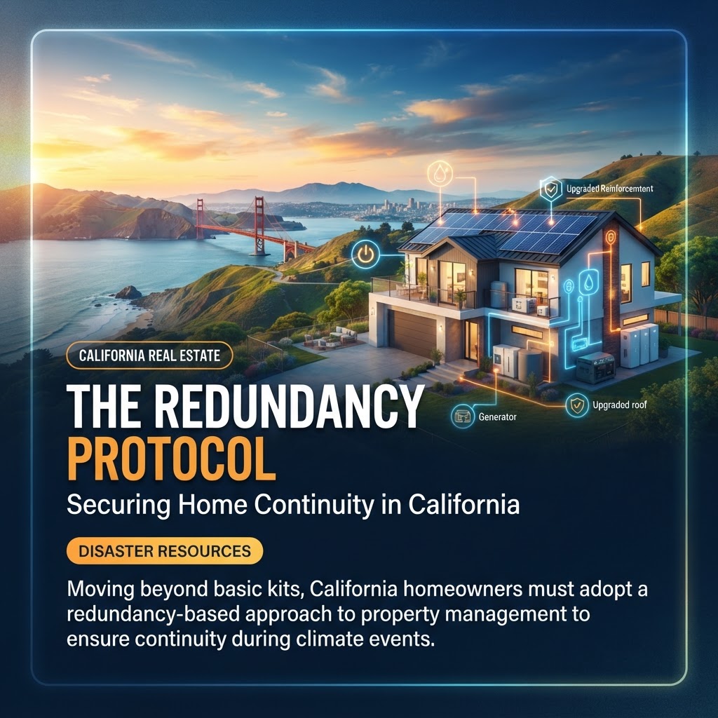
- Audit the 'Digital Perimeter': Ensure your home’s Wi-Fi and mesh networks are supported by a redundant, solar-charged battery backup. A sensor is useless if the local grid failure severs its communication.
- Standardize Your Go-Bag for the 2026 Environment: Beyond water and food, include portable power stations capable of running Starlink or satellite-based communication tools, as terrestrial cellular towers remain vulnerable during high-wind events.
Ultimately, disaster preparedness in California has moved beyond the 'set it and forget it' mentality. It is now a dynamic, data-driven discipline where the speed of information is as valuable as the strength of the roof.